
The deed says 1 rai 2 ngan 30 wa. The new survey says 1 rai 2 ngan 12 wa. Eighteen square wa have gone
Eighteen square wa is 72 square metres, which on many plots is worth six figures.
The first question everybody asks is where the land went, and the second is who took it.
The answer that puts most people at ease is that in the majority of cases nobody took it and nobody did anything wrong.
The area written on your title deed is not a measurement of today. It is the result of a survey on the day that deed was issued, using the instruments and methods of that time.
A great many Thai deeds were issued decades ago, some from an era when surveying meant chains, tapes and reading angles through an older instrument. A discrepancy of a dozen or so square wa on a one rai plot is entirely unremarkable.
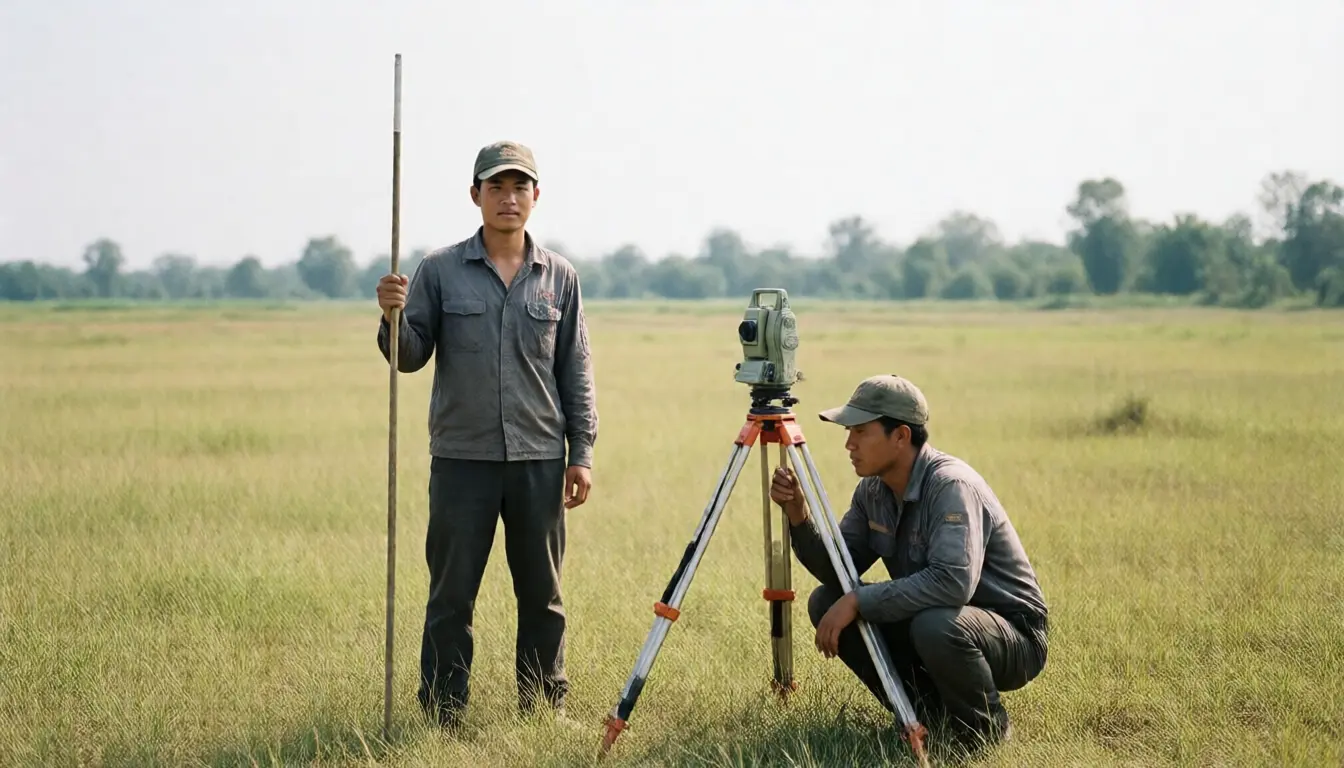
Surveying today uses high-precision satellite positioning, which is far more accurate. So when the new measures the old, the numbers not matching is what you would expect.
But not every case is that. This article explains how to tell which kind yours is, along with what the law allows and the deadlines you have to know.
The causes where nobody is at fault
The survey method of the era is the leading cause.
Land titled through the historic cadastral surveys was measured from the control points available then, and carrying position from one point to the next accumulated error with distance.
Which means a plot far from the control network had more scope for error than one close to it.
An irregular plot shape matters too. A plot with many corners, or a side curving along a canal, is harder to compute and more prone to error than a simple rectangle.
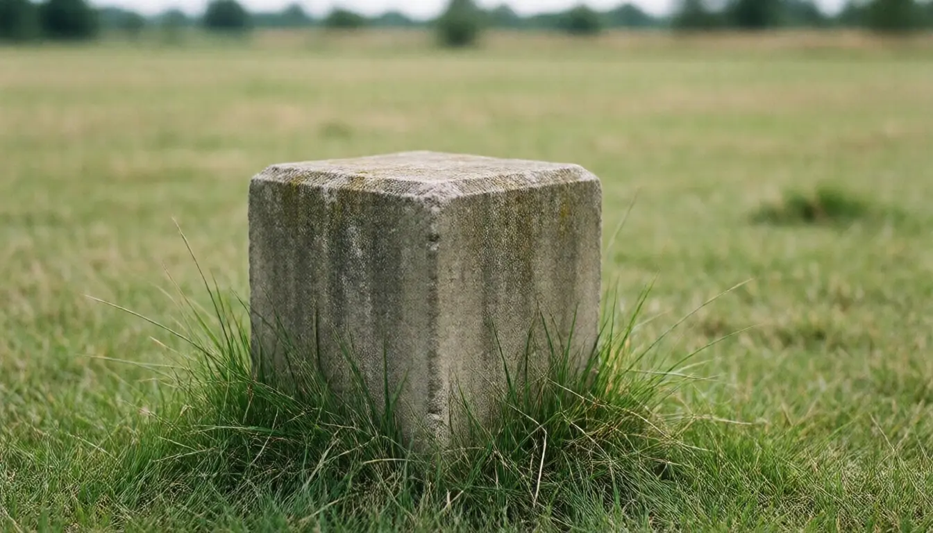
Missing or moved boundary markers is another frequent cause. A concrete marker set forty years ago may have been buried when a road was built, covered when the land was filled, or pulled out by somebody who had no idea what it was.
With a marker gone, the surveyor computes its position back from the remaining ones, which is the best available estimate and is still an estimate.
Rounded figures on the old deed play a part as well. The area on some older deeds is a round number reflecting the precision of the time rather than a measured value to any decimal place.
In these cases nobody has taken your land. What happened is that reality and the paperwork never matched, and now the paperwork is being corrected to reality.
The causes where somebody is at fault
The other group is where the area is missing because somebody is actually using it.
A fence that does not follow the boundary is the commonest, and usually not deliberate.
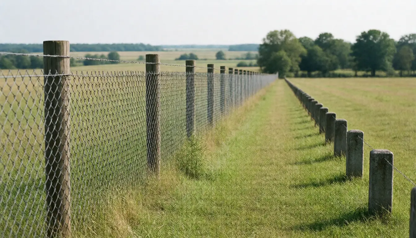
Fences in rural areas and older neighbourhoods were frequently built along a line people agreed between themselves that day, or along an old field bund, rather than along the markers.
A new survey then shows the fence encroaching into your land, or into the neighbour's, and sometimes reveals that you have been the one gaining all along without knowing.
Structures crossing the line, such as a neighbour's eaves, canopy, steps or building corner, take real area and have legal consequences. That is covered in a neighbour encroaching on your land.
A track used for years, which may already have become a servitude with nothing registered. That is in how a servitude arises on your land.
A changing watercourse, for land with a side on a canal or river, where erosion or accretion changes the real area over time.
The simplest way to separate the two groups is to look at whether the missing area is spread evenly across the plot or concentrated on one side.
Evenly spread usually means survey method. Clearly concentrated on one side usually means something happened on that side.
What the law says
Section 69 bis of the Land Code governs all of this.
In substance, where a boundary survey shows the map or the area not matching reality, the land officer has the power to correct it to reality once the persons entitled to the adjoining land have signed to confirm the boundary.
The same section carries an important exception: it must not be a collusive arrangement to evade the law.
That exception exists so two people cannot use the survey mechanism as a shortcut for transferring land between themselves without fees and tax.
What has to be clear is that a boundary survey does not change ownership. It only makes the documents match reality.
If the reality is that a neighbour occupies part of your land, the survey makes that visible. Whether you get it back is a separate matter, decided under other law.
And the reverse applies. If you are the one who has been occupying more than your title, the survey makes that visible too.
When the neighbour does not attend, or attends and will not sign
This is where the process usually stalls, and where the law has already written the way out.
In a boundary survey, the owners of adjoining land on every side are notified to attend and to sign confirming the boundary as surveyed.
In reality, some neighbours have moved away, some have died with heirs who never transferred the title, and some attend but refuse to sign because they disagree.
Section 69 bis provides that where the person entitled to adjoining land cannot be contacted, or was contacted and did not attend, or attended and would not sign, the official notifies them in writing to sign or to object within 30 days.
That thirty-day figure is what lets the process continue instead of stalling forever because one neighbour will not engage.
What you should do to make this step go smoothly is to visit every adjoining neighbour yourself beforehand, tell them the date and time, and get a phone number that actually works.
A neighbour who receives an official letter having heard nothing about it usually reacts with suspicion. A neighbour you told in advance usually turns up.
If there is an objection
Where a neighbour objects to the surveyed boundary, the matter moves to mediation.
Section 69 bis gives the land officer power to investigate and mediate so the survey and the work following it can proceed.
If mediation succeeds, it ends there and the documents are corrected to what was agreed.
If mediation fails, the land officer notifies the parties to bring the matter before the court within 90 days.
Ninety days is a deadline to hold on to, because letting it pass has consequences, and the people who let it pass are usually the ones who assumed waiting would be harmless.
What to do the moment an objection appears is gather evidence: a copy of the deed with the plan on the reverse, old aerial photographs of the area, dated photographs of fences and structures, and accounts from long-term residents.
Old aerial photographs carry more weight than people expect, because they show where a fence or a building stood in a given year and nobody can argue with that.
What if the area increases?
Many people assume more area is unambiguously good news. Not entirely.
If the increase comes from error in the original survey and the neighbours confirm the boundary, it is genuinely good news. The paperwork is corrected and your land has the area measured.
If the increase comes from your fence sitting inside the neighbour's land, it will not end that neatly.
Because once surveyed, the neighbour also sees that their area has shrunk, and they may object.
The other thing to weigh is tax and fees. More area means a larger base for land tax and for the fees on the day of a transfer.
None of which is a reason not to survey. It is a reason not to treat extra area as pure profit.
What it means when buying or selling
This matters most to anybody about to transact.
Sale contracts for land usually state the price one of two ways: a rate per square wa multiplied by the area, or a single lump sum for the whole plot.
With the first, if the surveyed area comes out smaller than stated, the price should reduce proportionally, which is why the contract must say which area figure is the basis.
With a lump sum, the buyer carries the area risk entirely, which can be acceptable if the price already reflects it.
What always belongs in a contract for land not recently surveyed is a term saying a boundary survey will be done before transfer, who pays for it, and what either side may do if the area differs by more than a stated percentage.
There is no standard percentage. It is for the parties to agree, and having a figure in the contract is far better than having none.
For buyers, treat land the owner has never resurveyed in twenty years as land whose real area nobody knows, and budget both money and time for a survey from the start.
The boundary survey process overall, from when to do one through to the steps involved, is in the boundary survey, when and why.
What to do before survey day
- Visit every adjoining neighbour beforehand, give them the date and time, and get a working phone number.
- Cut the grass and clear the boundary lines, because the surveyor has to walk them and set up equipment. An overgrown plot slows the work and may force a new appointment.
- Find the existing markers first and stake anything you can remember the position of.
- Have the original deed and identity card ready, with copies.
- Photograph the plot beforehand: fences, structures and mature trees, with dates.
- If the land is unadministered inheritance, settle the estate first, because whoever applies must be a person entitled to that land.
On time and cost, allow more than you expect. Land Office survey work has a queue, and the period from application to result can run into months.
Fees depend on plot size and the type of work, so ask the local Land Office for an estimate before applying rather than discovering it at payment.
Where speed matters, licensed private surveyors are an option, faster and more expensive, so ask the Land Office how that route is handled.
Frequently asked questions
Is a mismatch between the survey and the deed unusual?
No, particularly for older deeds surveyed with earlier instruments. A discrepancy of a dozen or so square wa on a one rai plot is common and does not mean anybody took land.
Can the land officer simply correct the area on the deed?
Yes, under section 69 bis, once the persons entitled to adjoining land have signed confirming the boundary, and provided it is not a collusive arrangement to evade the law.
What if a neighbour does not attend?
The official notifies them in writing to sign or object within 30 days, which is the mechanism that keeps the process moving.
What happens if a neighbour objects?
The land officer investigates and mediates. If that fails, the parties are notified to go to court within 90 days, a deadline not to let pass.
Does a survey change ownership?
No. It only aligns the documents with reality. Recovering land from somebody occupying it is a separate matter under other law.
How should a purchase contract deal with area?
State that a boundary survey will be done before transfer, who pays, which area figure prices the deal, and what either side may do if the difference exceeds a stated percentage.
In short
- The area on a deed is the survey of the day it was issued, not a measurement of today.
- Error from older survey methods is the leading cause, and nobody is at fault.
- Loss spread evenly across the plot suggests survey method. Loss on one side suggests something happened there.
- Section 69 bis lets the land officer correct the area once adjoining owners confirm the boundary.
- A neighbour who will not attend or sign is notified in writing to respond within 30 days.
- Where mediation fails, the parties must go to court within 90 days.
- A survey does not change ownership. It only makes the documents match reality.
- Visit every neighbour before survey day and clear the boundary lines.
- In a sale contract, state which area figure prices the deal and what happens if it differs.